Adding IGN basemaps
Basemaps are used for any map displayed on Opendatasoft, whether it is the visualization map of a dataset or the Map Builder. A basic basemap is used by default for all maps of all Opendatasoft workspaces, but it's possible to change the default basemap, as well as to make other basemaps available in an Opendatasoft portal.
This page explains how to configure IGN basemaps quickly and easily.
Why use IGN basemaps?
In 2021, the IGN (Institut national de l'information géographique et forestière)—a French reference for geographical and forest information in France—made its public data on French topography and infrastructure freely available. The opening up of IGN data under the Etalab 2.0 open license means that access and use are free for all.
This means you no longer need an API key to retrieve open data. Only access to web services based on SCAN 25/100/OACI data is subject to the use of a personal key, available via registration on the IGN website.
How to use IGN basemaps in Opendatasoft
To give you more geographic visualization options, you can easily integrate these IGN background maps into your Opendatasoft portal.
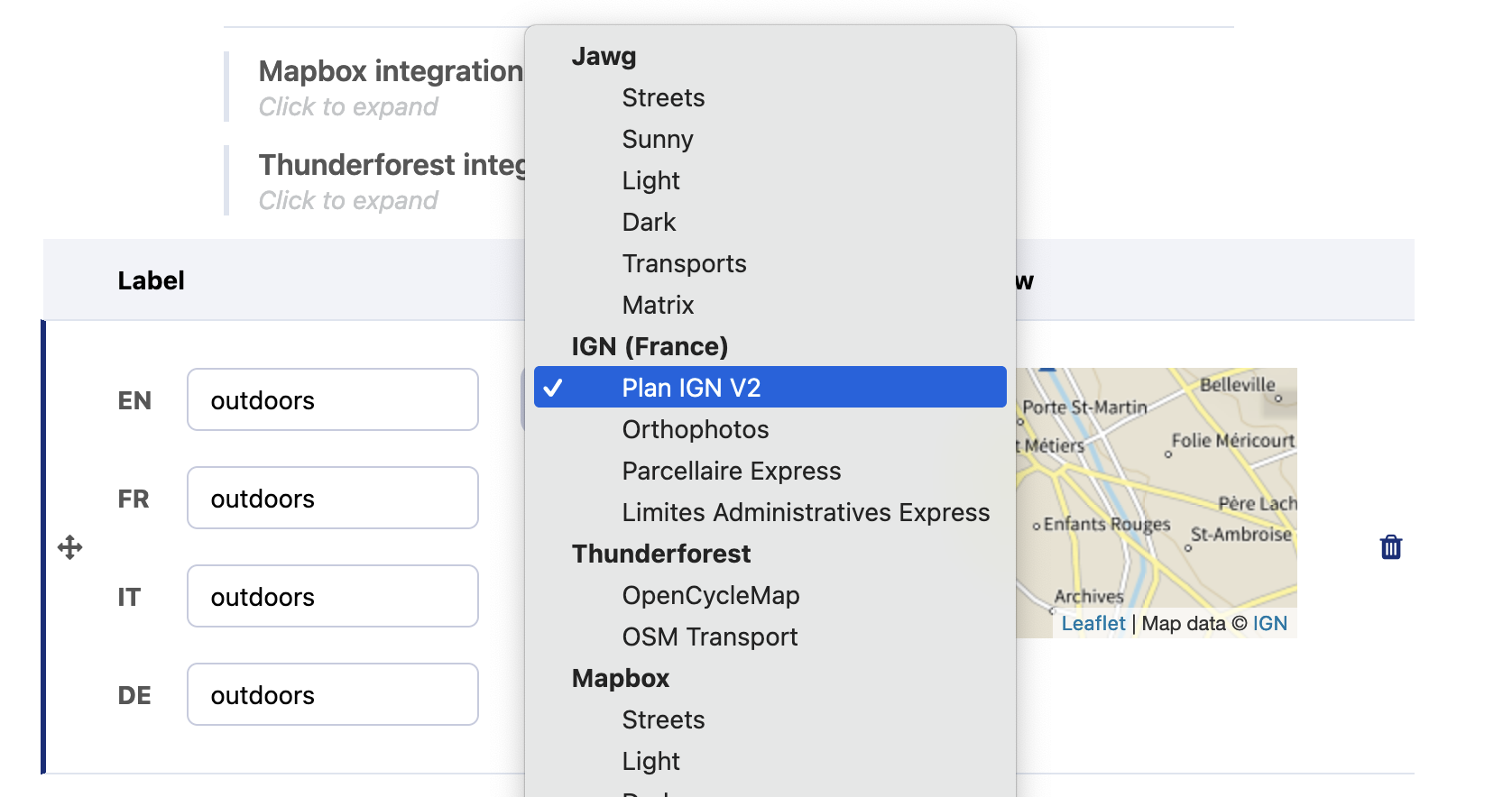
Go to Back office > Look & Feel > Data visualizations.
The platform offers several pre-configured IGN backgrounds that you can simply select from the list: Plan V2, Orthophotos, Parcellaire Express, and Limites Administratives Express.
If you require an IGN background map that is not included in this list, you can add an IGN background as a custom background. To do this:
Choose "Custom" from the drop-down list
Add the WMTS "getTile" URL, and change the "layer" parameter. For example, for the map of Paris 1906, use:
https://data.geopf.fr/wmts?&REQUEST=GetTile&SERVICE=WMTS&VERSION=1.0.0&TILEMATRIXSET=PM&LAYER=GEOGRAPHICALGRIDSYSTEMS.1900TYPEMAPS&STYLE=normal&FORMAT=image/jpeg&TILECOL={x}&TILEROW={y}&TILEMATRIX={z}

