Overview of the Maps interface
The Maps interface allows you to build your own data-enriched maps. You can overlay as many layers of data as you want in the same map, and the different visualization styles (heatmaps, choropleths, dots, and shapes) let you choose the best way to show the data.
Because you can overaly multiple layers, the maps made in Maps are more advanced than those created within the map tab of a published dataset. You can also group your layers and edit their descriptions and titles in order to create and share a map designed to meet a specific purpose.
Once you have built your map, share it using the provided URL or embed it in your website after saving it.
Using the Maps interface
To use Maps, go to any ODS portal and find it through the portal's navigation (on your own portal this is the Maps tab at the top of the page). Otherwise, you can type /map at the end of any portal's URL. There you can use the portal's datasets to make a map, or else choose from any of the 14,000 georeferenced datasets freely available through our Data Hub.
The Maps interface has two modes:
Edition, that you use to create your map, configure it, and define what it will look like
Preview, that you use to preview what your map will look like
Maps, in edition mode, is also split into three parts, each explained in more detail below:
The layer-editing area
The Maps menu
The interactive, multi-layered map
The layer-editing area
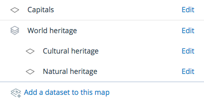
The layer-editing area is located on the right-hand side of your page, right next to the map. Use this part of Maps to create a multi-layer map.
If you haven’t started creating your map you will only see a button, Add a dataset to this map, to add your first dataset. Afterward, this section will display:
All your added datasets
"Edit," a link to access the visualization configuration options of the related dataset
Add a dataset to this map, a button to add a new dataset to your map
The Maps menu
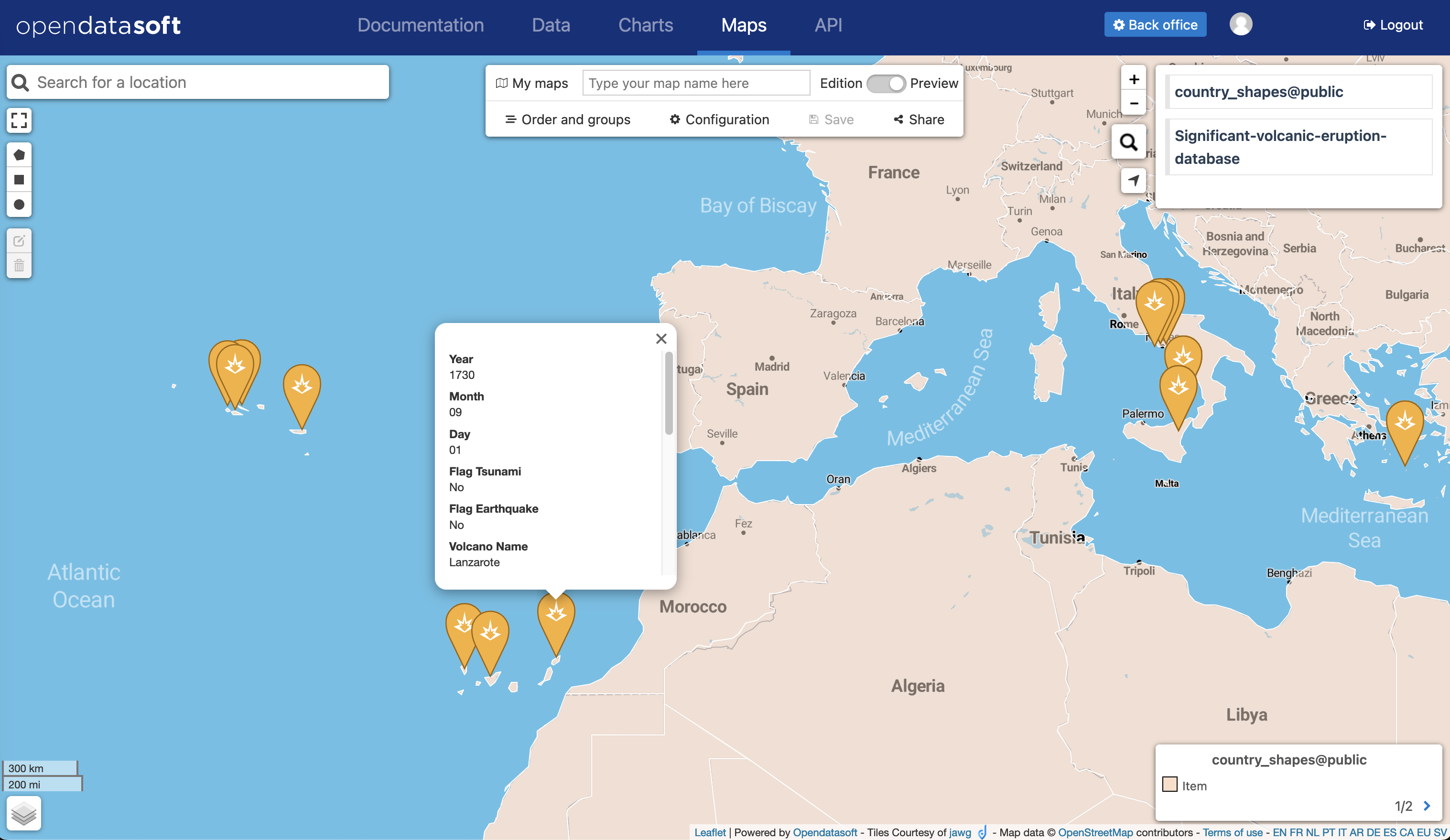
The Maps menu is located at the very top of the map. Through this part of Maps, you can rename and save a map, manage your maps, reorder and group layers in a map, configure your map, and share your map.
It displays the following information, action buttons, and submenus:
My maps, to manage your maps, including your not-yet-saved maps (drafts)
The title of your map
A switch button, whether you want to display Maps in an edition or in a preview mode
Order and groups, to manage in what order your datasets are displayed and to group your datasets together
Configuration, to define which features will be activated when your map is in preview or view mode
Save, to save your map
Share, to access links to share your map as a link, inside an iframe, or as a widget pasted in a page
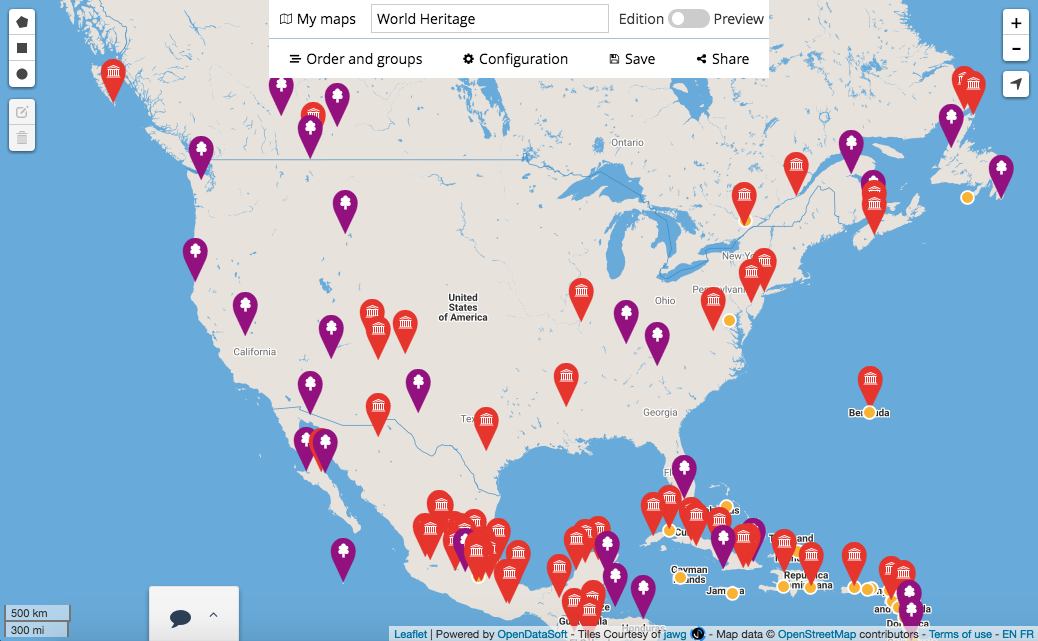
The interactive map
The interactive map displays your data. You can navigate on your Maps map to play with this data.


